A Bloustein School urban planning studio was chosen to represent the school and present the Newark Liberty Airport: Arriving at Aerotropolis urban design studio at the 2018 APA Annual Studio Showcase held May 9 at NYU’s Wagner School of Public Service. The annual event is hosted by the American Planning Association (APA) New York Metro Chapter. Each of the five schools; Columbia, Hunter, NYU, Pratt, and Rutgers are invited to present one studio.
The Newark studio was chosen by Bloustein faculty and students as representative of the curriculum. Representatives from the City of Newark’s office of planning and zoning requested this studio address initial transit-oriented development (TOD) planning for the proposed 2026 PATH station which will connect downtown Newark’s Penn Station to Newark Liberty International Airport.
In February 2017 the Port Authority announced their approval of the $1.7 billion PATH extension to EWR as part of the $32 billion 10-year capital plan for 2017-2026. At the same time, the Regional Plan Association (RPA) released their RPA’s Fourth Regional Plan for the New York-New Jersey- Connecticut region in late 2017 with recommendations for the regions’ transportation including the PATH connection to EWR.
The combined fall and spring studios from fall 2017 and spring 2018 included a total of 19 graduate and eight undergraduate students. The students prepared a video illustrating the airport redesign, and improvement plans for the Dayton and Weequahic neighborhoods, encompassing a total land area that is one-third of the city of Newark.
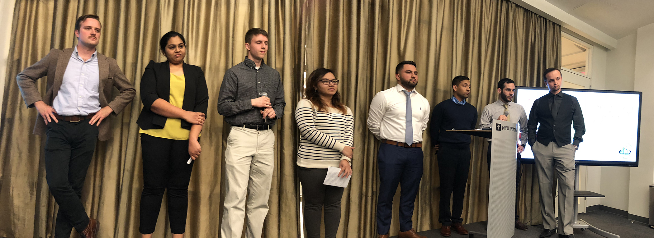
Twelve students presented at the NYU event. The review panel, including faculty from each of the five schools, noted that they were impressed that the city of Newark had requested Bloustein students study such a large portion of the city and the airport. They complimented the students on addressing the neighborhood’s issues and needs in regard to transportation, mixed-use, and sustainability.
Yvonne Moore, a Dayton community resident who also attended the event, complimented the student’s work, noting that they were, “shaping the future of Newark while helping the residents work together for the common good.”
Other projects presented included: Hunter College/Affordable Artist Housing in NYC; Columbia University/Strategies for Hazard Mitigation in Gowanus; Pratt Institute/Mott Haven Home, Health and History; and NYU/ Dash Labs Capstone.